Many people know that the centre of Cork is built on an island. But did you know that it was once many islands? And had a canal-based transport system?
Until the late 18th century the centre of Cork was marshy and the land was directed by the river. Through that time the channels were used for transport, in much the same way they are in Venice.
Only in the late 18th to early 19th centuries were these channels filled in and the marshy land replaced. This involved the creation of streets where previously there had been water; Patrick Street and The North Mall are two such locations. And it is here that you can see the last remaining sign of the way life was built around the water.
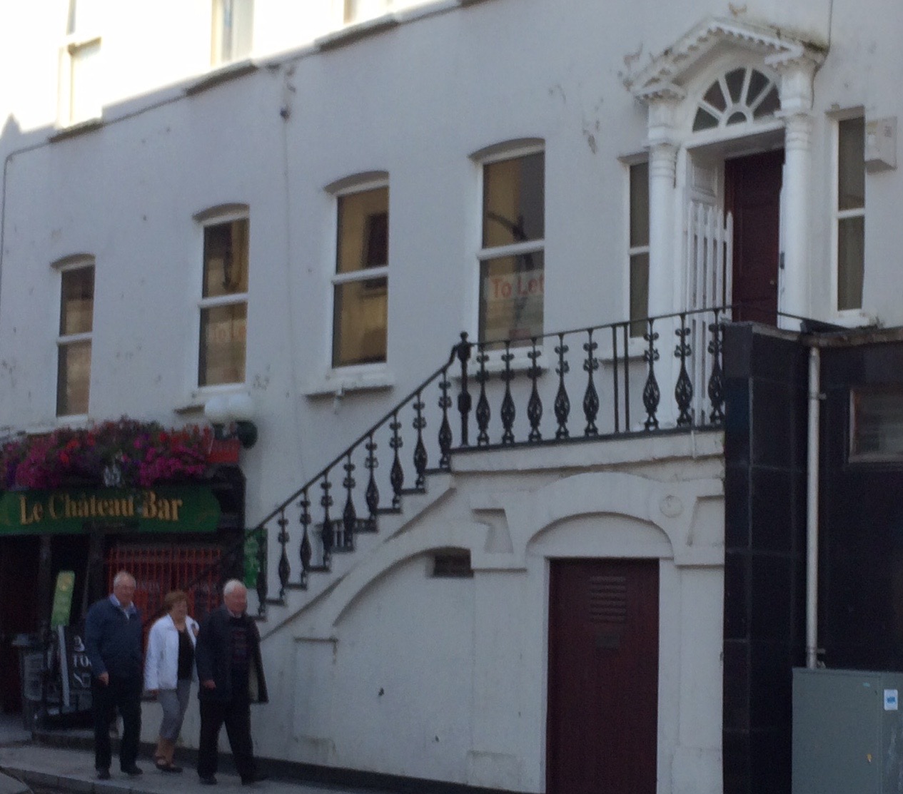
The picture above is a perfect example. Here you can see a lower door and steps leading up to a higher entrance.
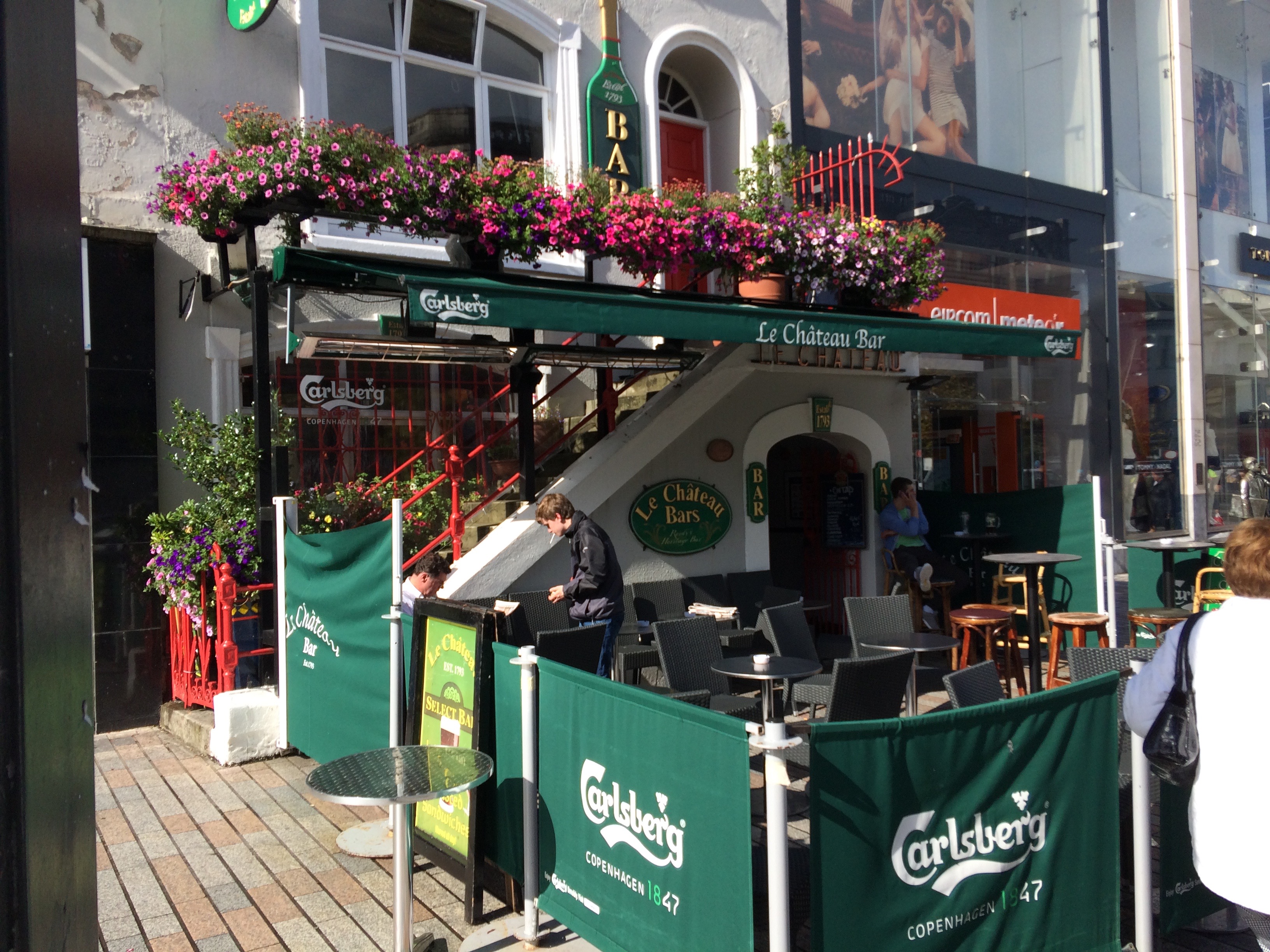
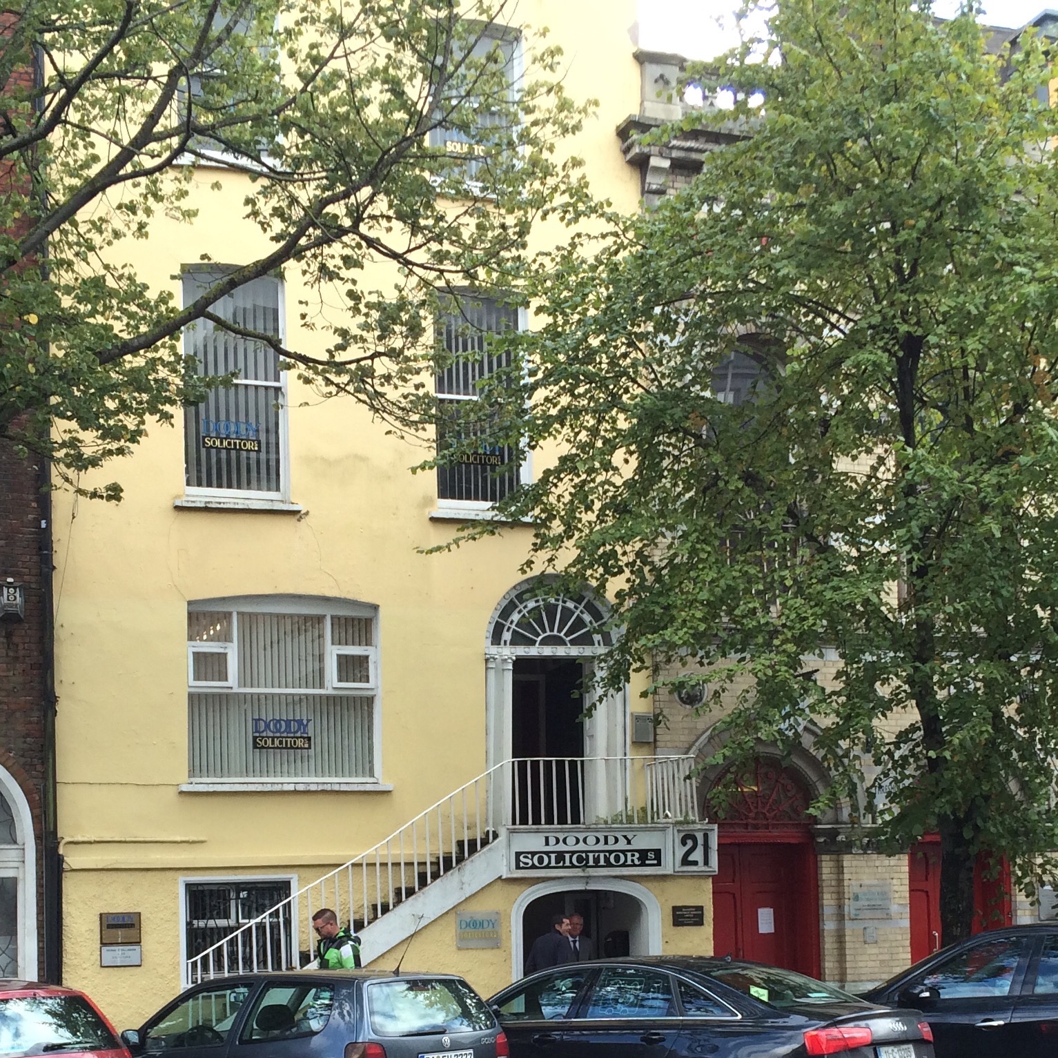
The lower door at street level was once the boathouse. Visitors would come, moor their boat and go up the steps to the drier part of the thous which was inhabited and protected from floods. Meanwhile the owners could par their own boat in the boathouse when it was not in use.

There are 3 such places remaining; Le Chateau, the building to its side, and one building on the North Mall.

Did you know the history behind these?

